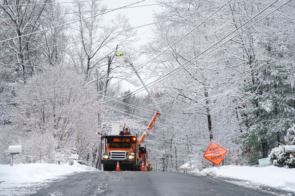
What a gorgeous Monday, huh? But don’t be fooled! Mother Nature has woken from her winter siesta and now we pay. Unless you’re looking forward to a decent snowstorm, in which case make that ‘and now we YAY.’ After a fairly mild Monday, Tuesday will be our impact weather event day. Snow is expected to move in in the morning – just ahead of, or even during, the morning commute. Depending on your area the snow should start between 5a and 9a and continue falling pretty much all day, wrapping up between 2 and 7pm (again, depending on your location).
This looks like a classic New England winter nor-easter. I see my day tomorrow filled with shoveling, sweating, equal parts complaining and swearing, washed down with some piping hot cocoa.
Winds will be kicking so I’m calling it now – at some point tomorrow you will shovel a big scoop of snow and throw it to your discard snow bank only to have it blow right back in your face. It’ll probably happen. So prepare and breeeeaaaattthhhee. Winds will be very high on the Cape & Islands, with gusts up to 45-60mph. The coast of Mass will see gusts of 30-45mph. Inland will still be gusty, just not as extreme – inland will experience gusts of 20-30mph, which is still enough to annoy you while shoveling. Sorry.
And now let’s attempt to answer the most burning (but cooling FAST as the storm approaches) question: “How much snow are we gonna get?”Per usual around here, it depends where you’re located. I’ll go general area by general area and let you know the latest estimations at total snowfall when all is said and done.
Also, while this winter has been fairly tame when it comes to snowfall totals so far, The Farmer’s Almanac says that’s about to change. *GULP* Click here for more on our “super snowy winter” still to come?
Now to those snow totals!
Interior, Central, and Eastern Massachusetts
You’re looking at 8-12″. This includes the area along and west of I-95. You’re expected to get the most snow. Congratulations?

The Coast
The Coast of Mass is looking at 4-8″ according to the most current models. Just north of Gloucester all the way down to just below Plymouth is included here. You’re getting the second most snow this time around. You’re a silver medal winner with a snow shovel!
The Cape
The Cape is looking at anywhere between 2 and 8″. 8″ as you get on Cape, then totals decrease all the way out to P’town where we should see around 2″. Nantucket and Martha’s Vineyard will likely get snow too, though only a couple sloppy, wet inches. Some areas (including the islands) may see mostly rain and wet snow.

Along the MA/NH b
Along the MA/NH border we should get between 4 and 8″. Obviously there will be patches slightly higher and lower but generally 4-8″ is the pick there. Those are the totals as of now. Good luck everybody!!